
Some prep work for a possible south-to-north run of the Warner Trail next year. A brief hike at Diamond Hill Park to remind myself of what the trail looks like at this end.
The trail is marked in various ways as it does a long switchback through the park—look for small white disks high on the trees, white arrows low on the trees (and on the ground, several have been knocked off). The map provided by the Town of Cumberland is probably as easy to follow as the actual blazes.

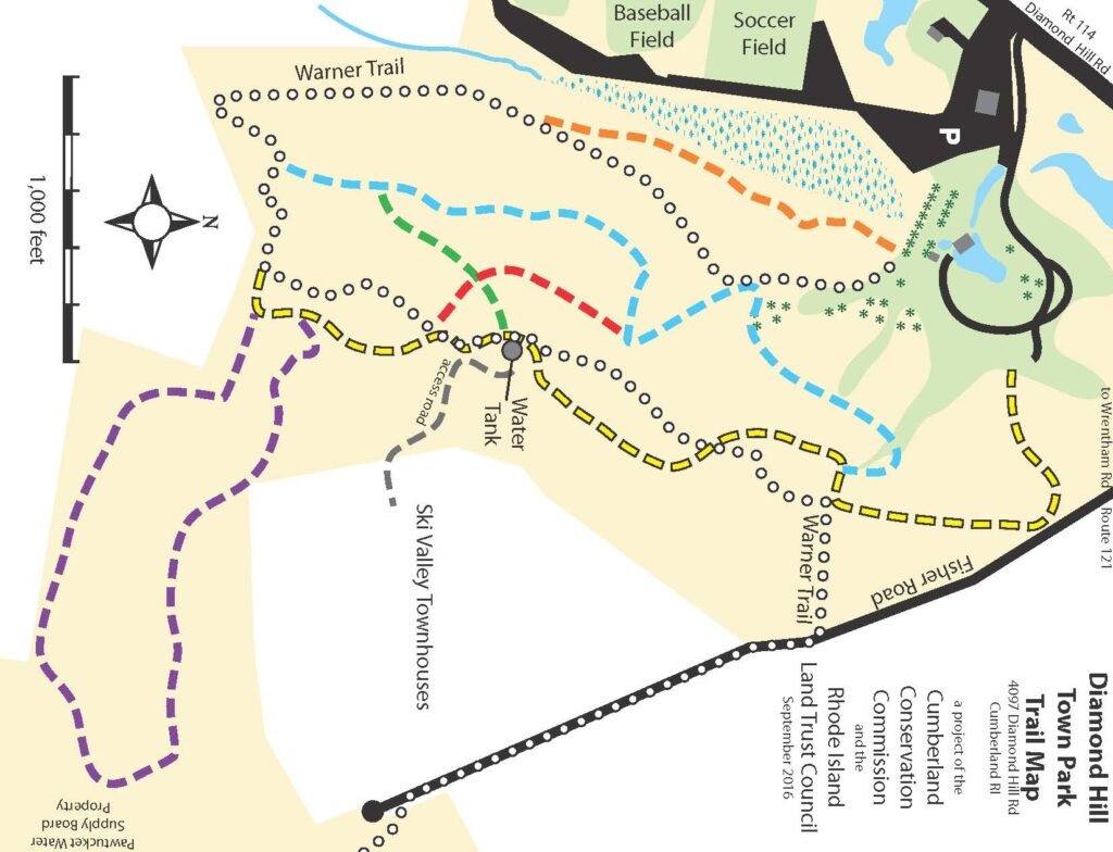
Park at the lot off RI 114 (there’s a new building going up in the parking lot at the moment). Enter the park to the right (south) of the new restrooms. Walk up the alley of evergreen trees, bear right (away from the pond) at the end of the alley. Look for the pump track (children’s bicycle area, visible on google maps, but not on the official map). To find the beginning of the Warner Trail, skirt the pump track on the right and look for the entry point.
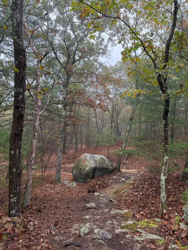
To me, this trail is rocky more than it is steep, though it does climb the hill. Blazes can be difficult to find, and it’s easy to end up on the yellow trail near the summit. Both yellow and white-blazed Warner Trail go to the summit (look for the water tower and then footings left from the old ski lift), and they both go down the hill to the back of the park as well. So unless you really need to stay on the Warner Trail to set a record, you could probably just wander and eventually find yourself in the right place.
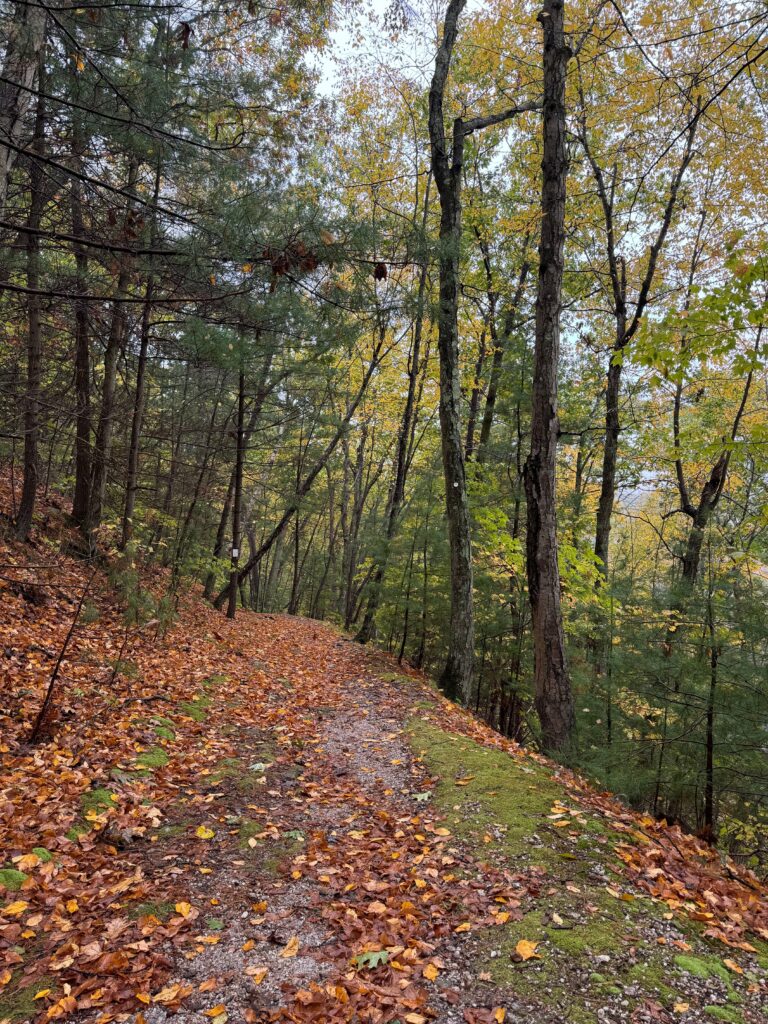
One slightly tricky part was the turn off the trail and toward Fisher Road. I mean, you can hear and see the traffic, so it’s not hard, but all the white blazes for this exit spur were on trees that had fallen over. Look for white blazes on the ground on both sides of the trail. I also had to hop a tree that had clearly been across the trail for while. Still, not difficult to navigate.
The official map has the Warner Trail at 1.2 miles inside the park, my Garmin gave me 1.39.
When you come out on Fisher Road, you should see Cobblestone Street to your left, Fenner Grant Lane to your right. Turn toward Fenner Grant and head down Fisher Road for about .3 miles. You’ll pass the post office for the Ski Valley condos on your right. Soon after, look for the four large boulders guarding the entrance to an unpaved forest road on the left. If you hit the cul-de-sac (as I did on my first attempt), you’ve gone too far. The trail entrance isn’t marked on Fisher Road—I guess all the “private property” signs took the good spots—but if you stand at the boulders and look down, the unpaved forest road is obvious, as are the white Warner Trail blazes.
Leave a Reply